Services
Big Data Analytics & Visualization

Research & Development

Environmental Remote Sensing & GIS
Environmental Remote Sensing & GIS


Big Data Analytics
Big Data Analytics & visualization
Big Data allows users to visualize past, present, and future patterns by linking and presenting information in meaningful ways.
Data Analytics offers deeper insight into the meaning of data sets by telling the story behind the information. This enables stakeholders to make more informed decisions, predict trends and better understand the needs and sentiments of customers.
Specialization
- Story telling using Tableau & ArcGIS Pro.
- Visualization with R
- Cloud computing
- Health data analytics
Research & Development
Research & Development
At JOLEXY ENVIRONMENTAL, research and development (R&D) is at the core of what we do. Ensuring that our solutions are grounded in sound scientific evidence is our watchword. To this end, we are engaged in publishing scientific papers in high-ranking journals. These are usually based on specific research-based projects. Below are selected papers published in collaboration with partners.
Onojeghuo, A., Rasul, A. and Onojeghuo, A., (2025). Air pollution exposure and hotspots of CO, NO2, SO2, PM2. 5, and aerosols in Iraq. Environmental Monitoring and Assessment, 197(11), pp.1-18. https://doi.org/10.1007/s10661-025-14571-9
Ndehedehe, C.E., Onojeghuo, A.O., Ben Stewart-Koster, Stuart E. Bunn, Vagner G. Ferreira, (2021). Upstream flows drive the productivity of floodplain ecosystems in tropical Queensland. Ecological Indicators, p. 107546. https://doi.org/10.1016/j.ecolind.2021.107546
Ndehedehe, C.E., Ferreira, V.G., Agutu, N.O., Onojeghuo, A.O., Okwuashi, O., Kassahun, H.T. and Dewan, A., (2021). What if the rains do not come? Journal of Hydrology, p.126040. https://doi.org/10.1016/j.jhydrol.2021.126040
Ndehedehe, C.E., Ferreira, V.G., Onojeghuo, A.O., Agutu, N.O., Emengini, E. and Getirana, A., (2020). Influence of global climate on freshwater changes in Africa's largest endorheic basin using multi-scaled indicators. Science of The Total Environment, 737, p.139643. https://doi.org/10.1016/j.scitotenv.2020.139643
Rasul, A., Ibrahim, S.A., Onojeghuo, A.R. and Balzter, H., (2020). A trend analysis of leaf area index and land surface temperature and their relationship from global to local scale. Land, 9(10), p.388. https://doi.org/10.3390/land9100388
Rasul, Azad and Ibrahim, Sa'ad and Onojeghuo, Ajoke R. and Balzter, Heiko, Modelling Leaf Area Index and Land Surface Temperature to Assess Their Changing Trends and Relationships From Global to Regional Scales (July 30, 2020). Available at SSRN: https://ssrn.com/abstract=3663992 or http://dx.doi.org/10.2139/ssrn.3663992
Onojeghuo, A.O., Blackburn, G.A., Wang, Q., Atkinson, P.M., Kindred, D. and Miao, Y. (2018). Mapping paddy rice fields by applying machine learning algorithms to multi-temporal Sentinel-1A and Landsat data. International Journal of Remote Sensing, 39 (4), pp.1042-1067. http://doi.org/10.1080/01431161.2017.1395969
Onojeghuo, A.O and Onojeghuo, A.R. (2017). Object-based habitat mapping using very high spatial resolution multispectral and hyperspectral imagery with LiDAR data. International Journal of Applied Earth Observation and Geoinformation, 59, pp. 79–91. https://doi.org/10.1016/j.jag.2017.03.007
Onojeghuo, A.O. and Onojeghuo, A.R. (2015). Mapping forest transition trends in Okomu reserve using Landsat and UK DMC-2 satellite data. South African Journal of Geomatics, 4(4), pp. 21-32. http://dx.doi.org/10.4314/sajg.v4i4.9
Onojeghuo, A.O. and Onojeghuo, A.R. (2015). Protected Area Monitoring in the Niger Delta using Multi-Temporal Remote Sensing. Environment, 2 (4), pp. 500-520, http://doi.org/10.3390/environments2040500
Specialization
- Agricultural and forestry research
- Environmental research
- Health & life science research
- Technical and scientific reporting
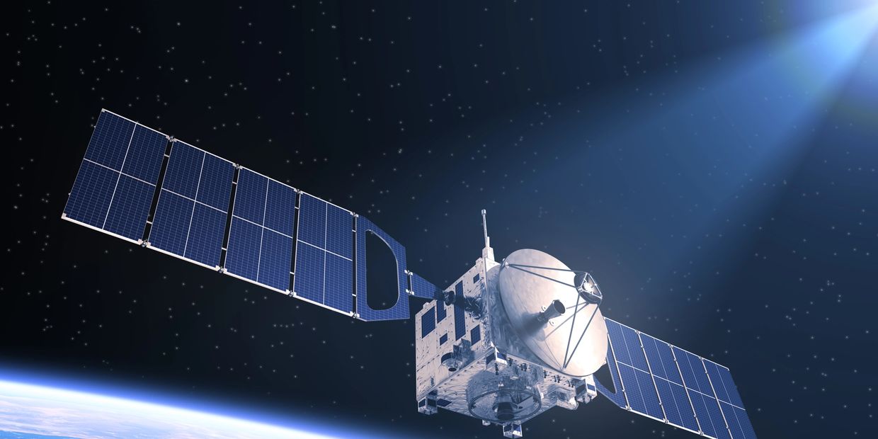
Environmental Remote Sensing & GIS
ENVIRONMENTAL Remote Sensing & GIS
At JOLEXY ENVIRONMENTAL SERVICES we are experienced in applying aerial and satellite multispectral, radar, and hyperspectral imagery to derive ecological information for site-specific and landscape level scales.
Remote sensing provides us with detailed information and measurements of earth surface dynamics, natural resources and their management as well as a range of environmental conditions and processes. It is ideally suited to assess and monitor areas that are spread out over large geographic areas.
The information is automatically collected and processed, allowing for a rapid, detailed and accurate assessment of natural, physical, and biotic features and processes. Using information from remote sensing and Geographic Information System (GIS), we can analyze complex spatial and temporal patterns.
The combination of remote sensing and GIS technologies with traditional field survey data enables us monitor quickly and more effectively landcover transition across large landscapes and over multiple time-periods.
Specialization
- Land cover classification
- Change detection analysis
- Wetland classification
- Big earth data cloud computing
- Geospatial data analysis
- Cartographic mapping
- GIS/CAD
- LiDAR data processing